Map created using OpenLayers 4
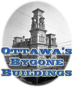
Ottawa's Bygone Buildings
Through the years, Ottawa has seen many buildings come and go. Some were lost to fire, some demolished for the expansion of parkland, roads and other improvements while others were removed to make way for newer buildings.
The map above shows the outline footprint of buildings which existed in 1912 but no longer exist today. Each footprint contains information and photos of these buildings.
The map is also available as a KML file which can be viewed in Google Earth.
There is also a list of the buildings.
The location of each building is based on the 1912 Fire Insurance map sheets found at Library & Archives Canada . Each sheet was georeferenced using software QGIS, GDAL and Google Earth. To download a KMZ file of one of the fire insurance plans, please go to the Fire Insurance Plans page.
Since all historic information is based on the 1912 insurance maps, no buildings demolished prior to 1912 will be included in the KML file.
Photos of buildings have been collected from sites on the Internet. Click on the source link below the photos to navigate to their source.
This project is on-going so please visit this site in the future as the KML file will be updated whenever possible.
Download a copy of the KML file shown in the map above.

